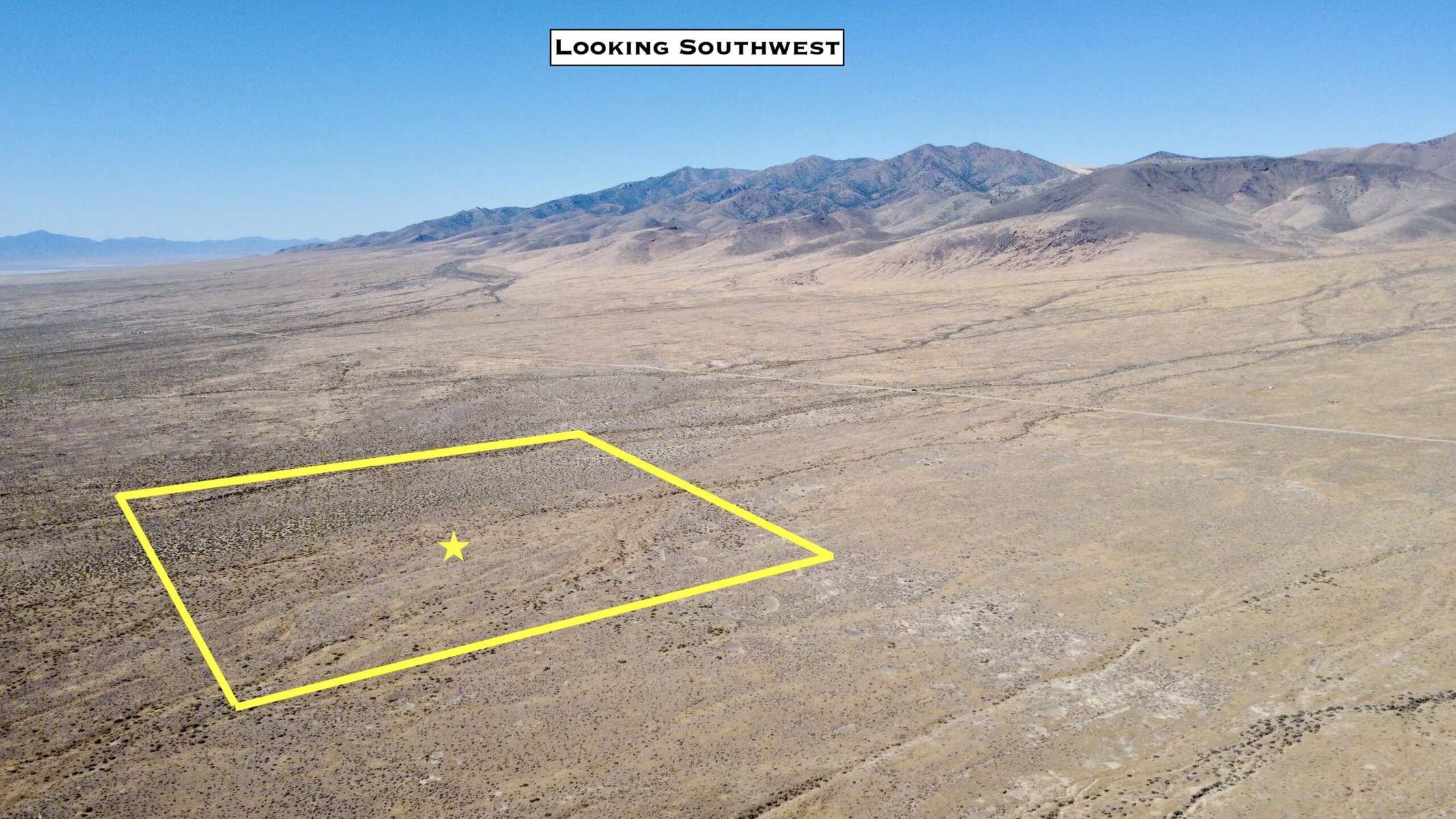

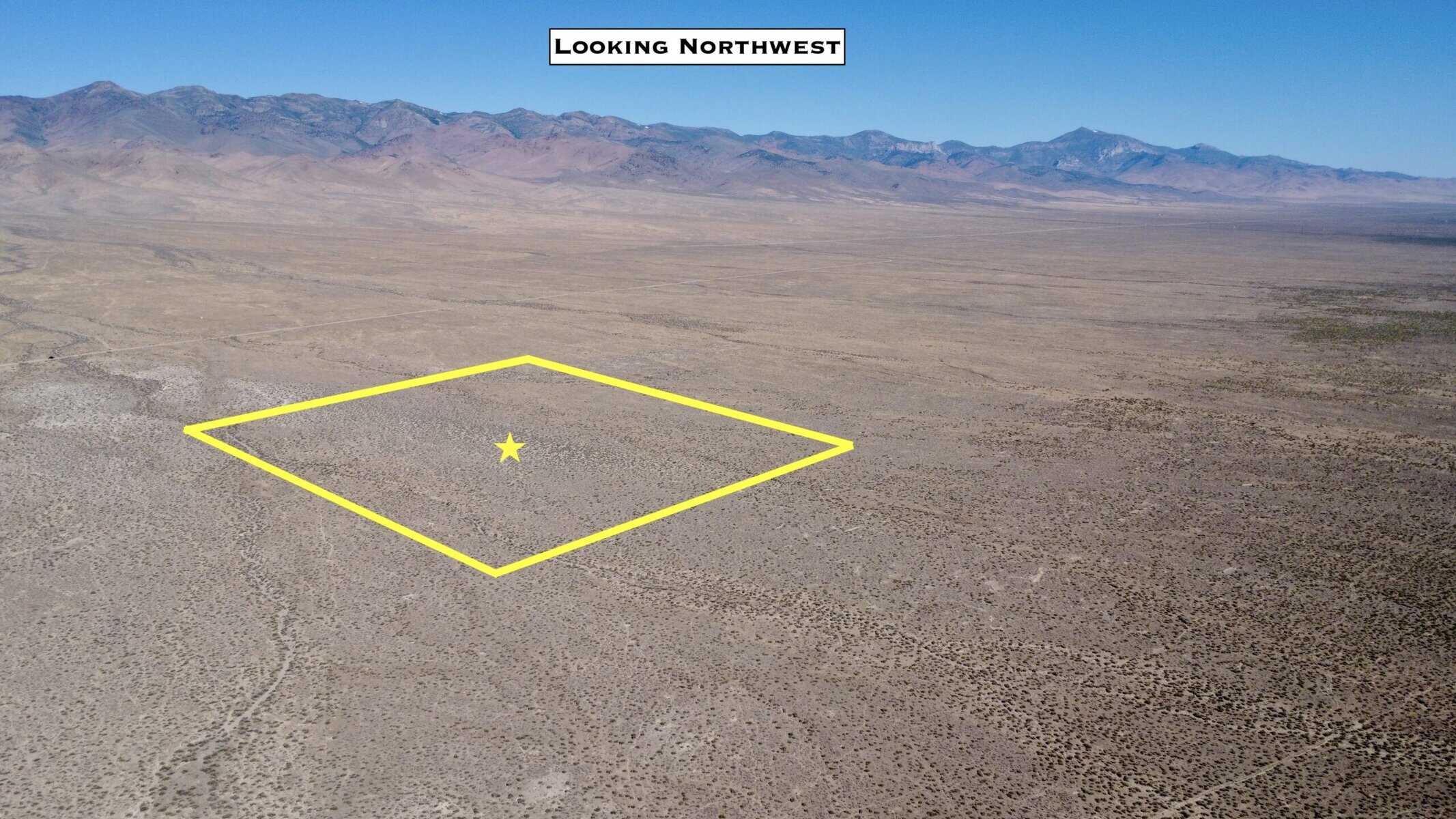


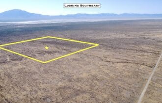
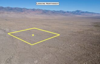
40.28 Acres Bordering 640 Acres of BLM Land
Includes building rights
Property Attributes
County: Pershing, NV
Parcel Number: 012-290-07
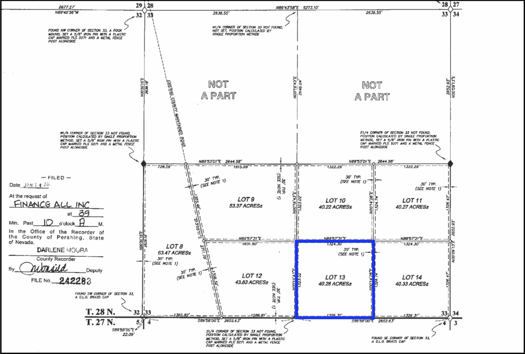
Legal Description: T29N R35E S33, Lot 13
Utilities: No electricity. Any building would be off grid. Would be well for water and septic for waste.
Zoning: The Agriculture-Mining-Recreation (AMR).
HOA: None
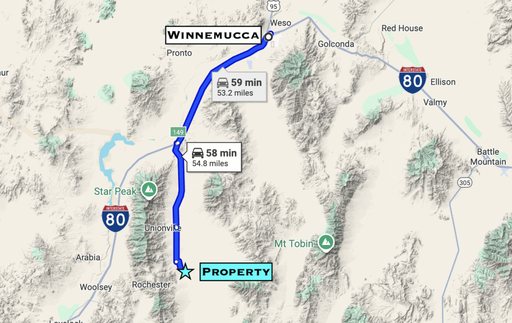
Nearest Town: 45 min to Lovelock (Population 2,000)
Nearest Regional City: 1 hr to Winnemucca (Population 10,000)
Nearest Major City & Airport: 2 hr 30 min to Reno (Population 282,000)
Taxes: $70/yr
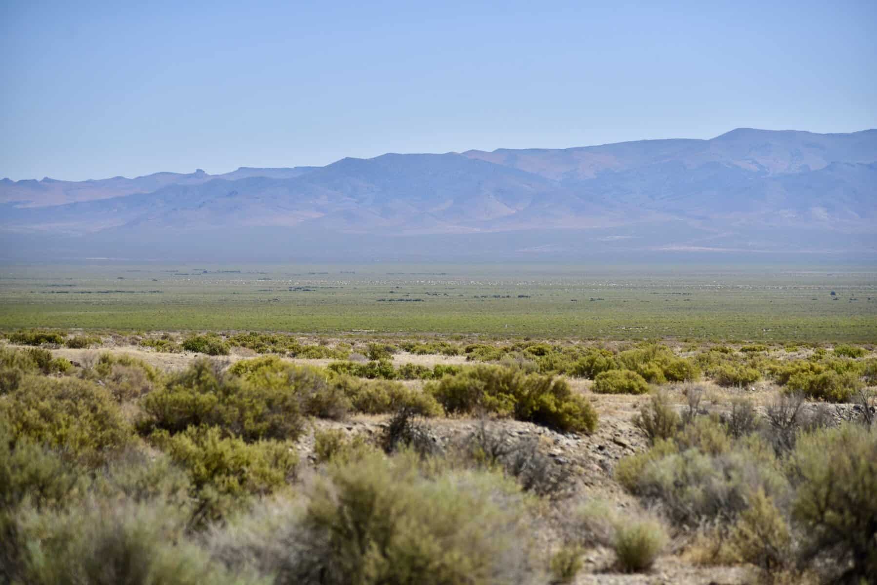
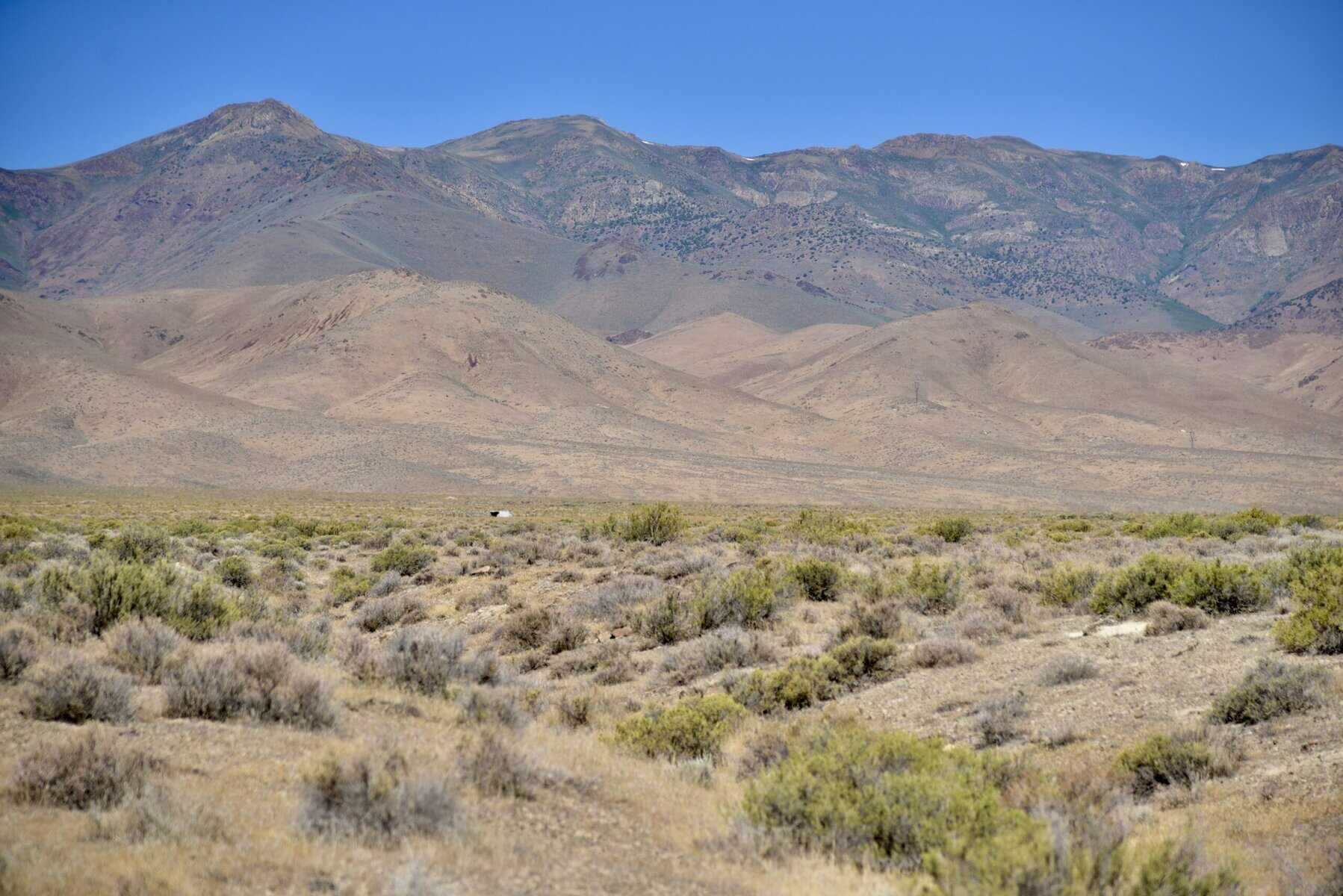
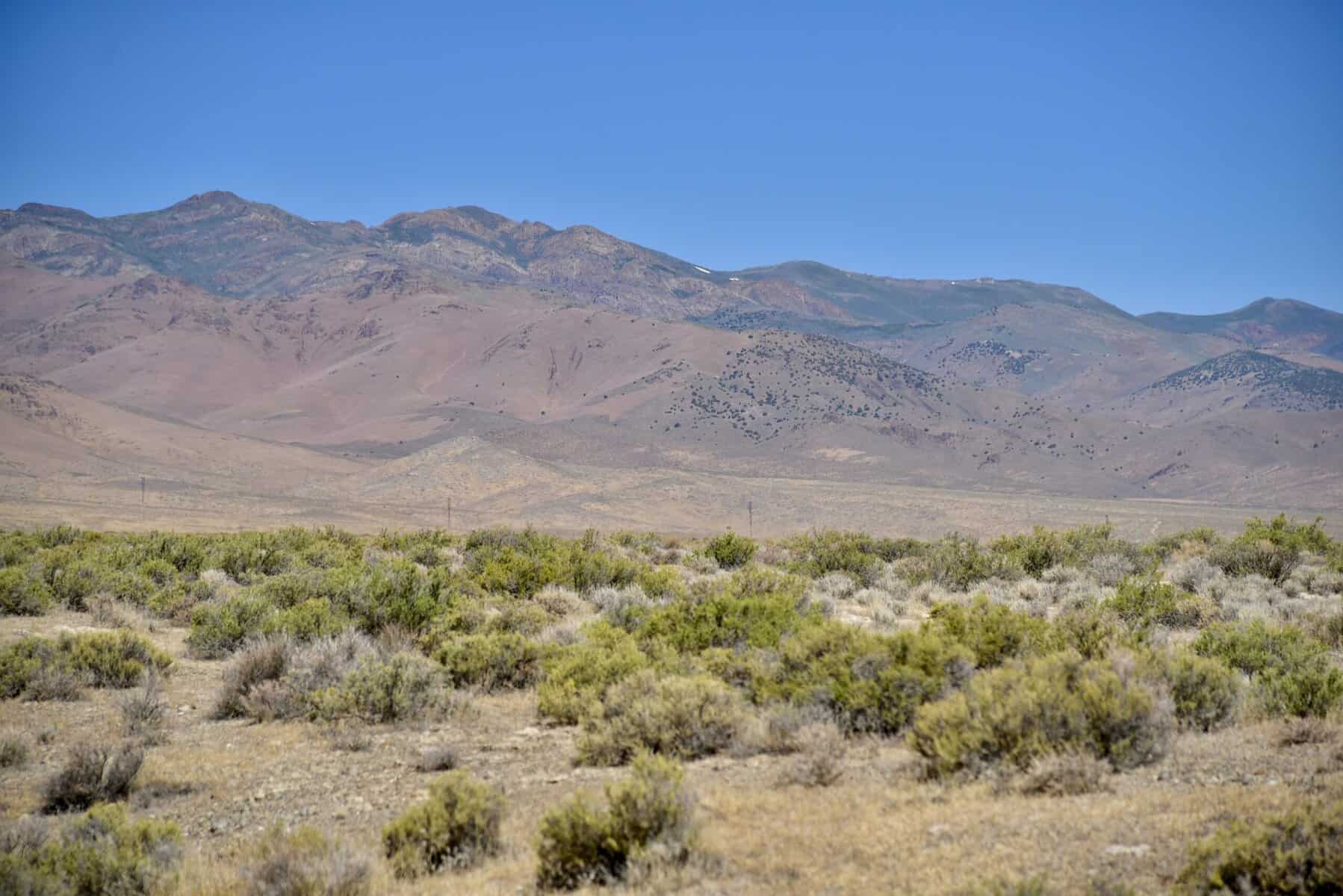
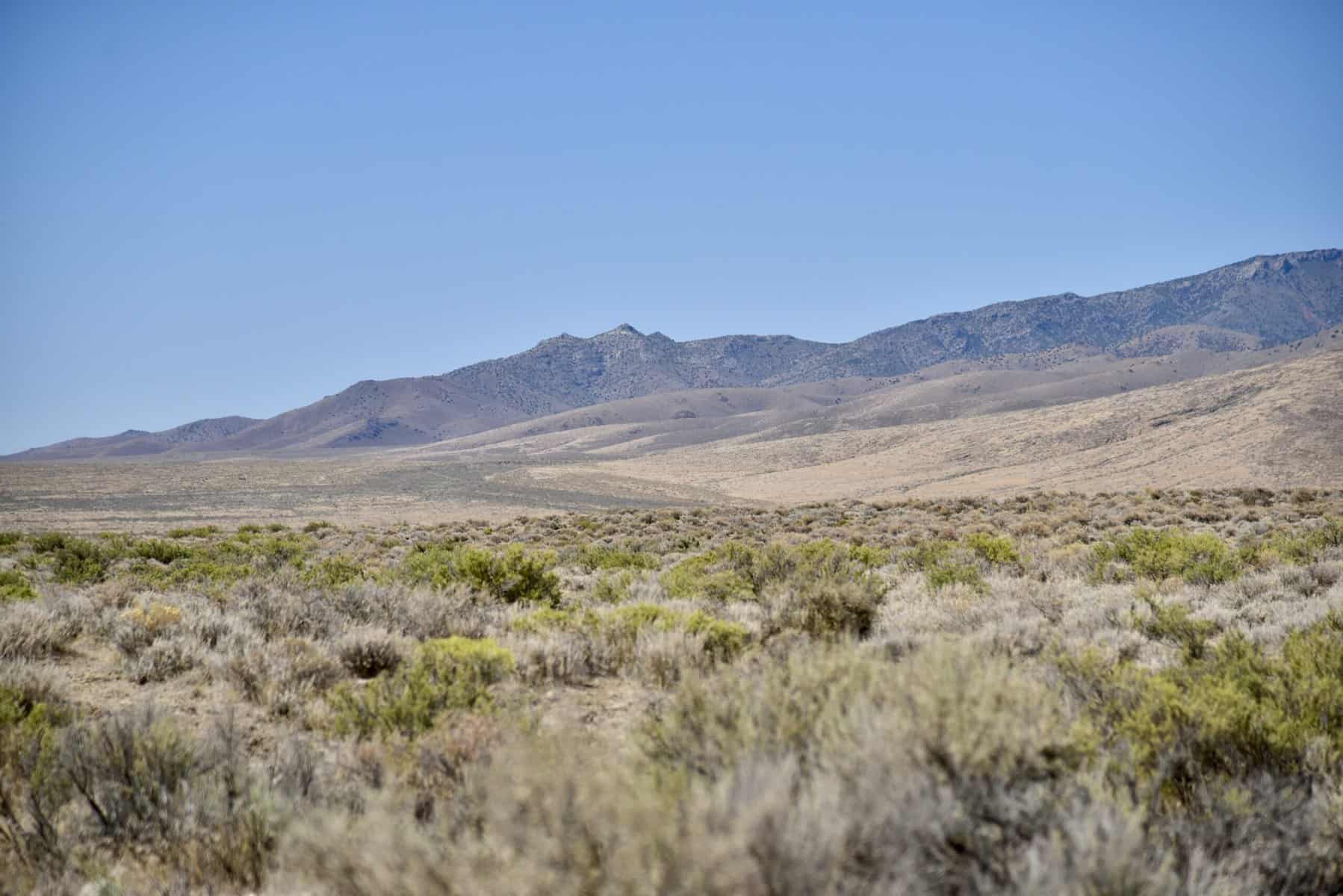
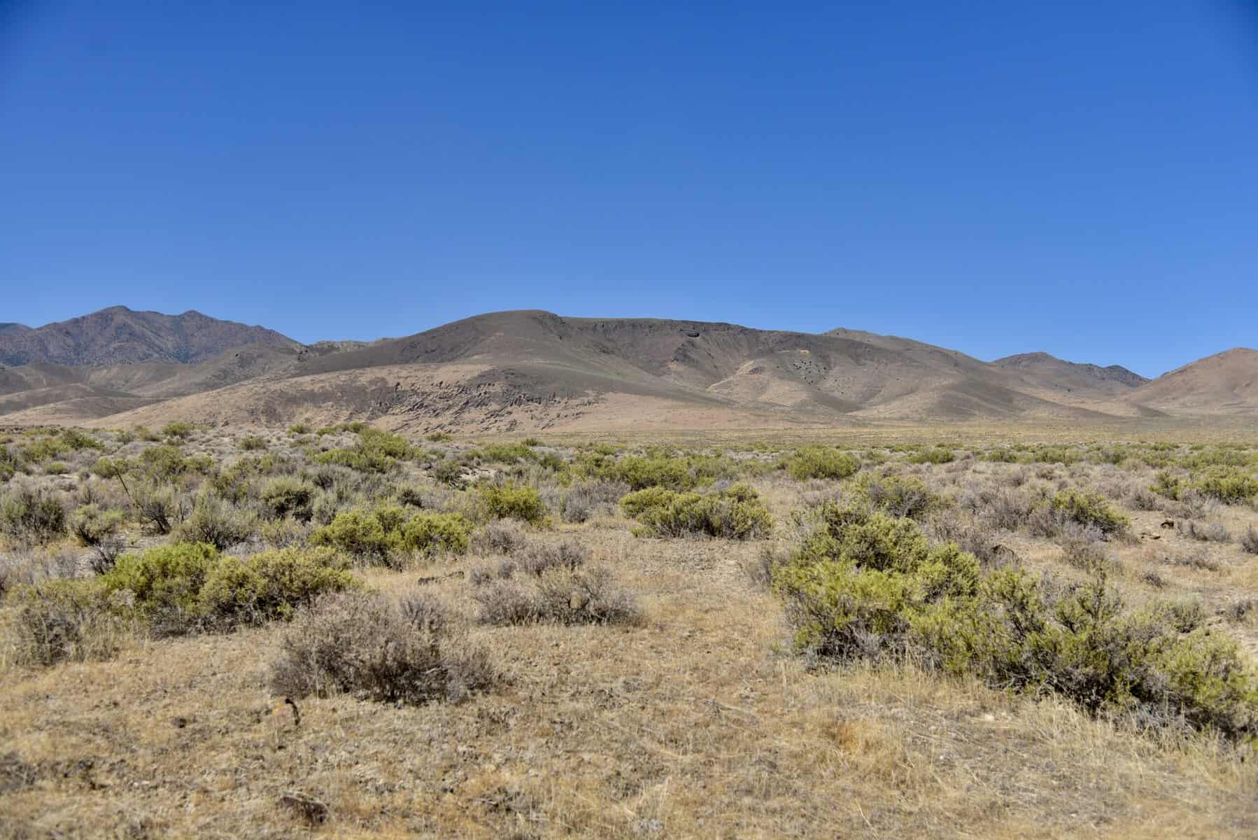
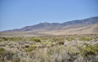
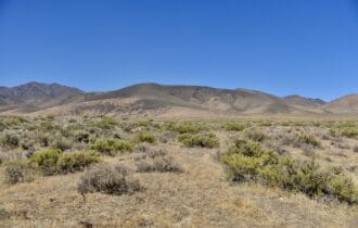
Terrain: Level
Elevation: 4,200 ft

Description
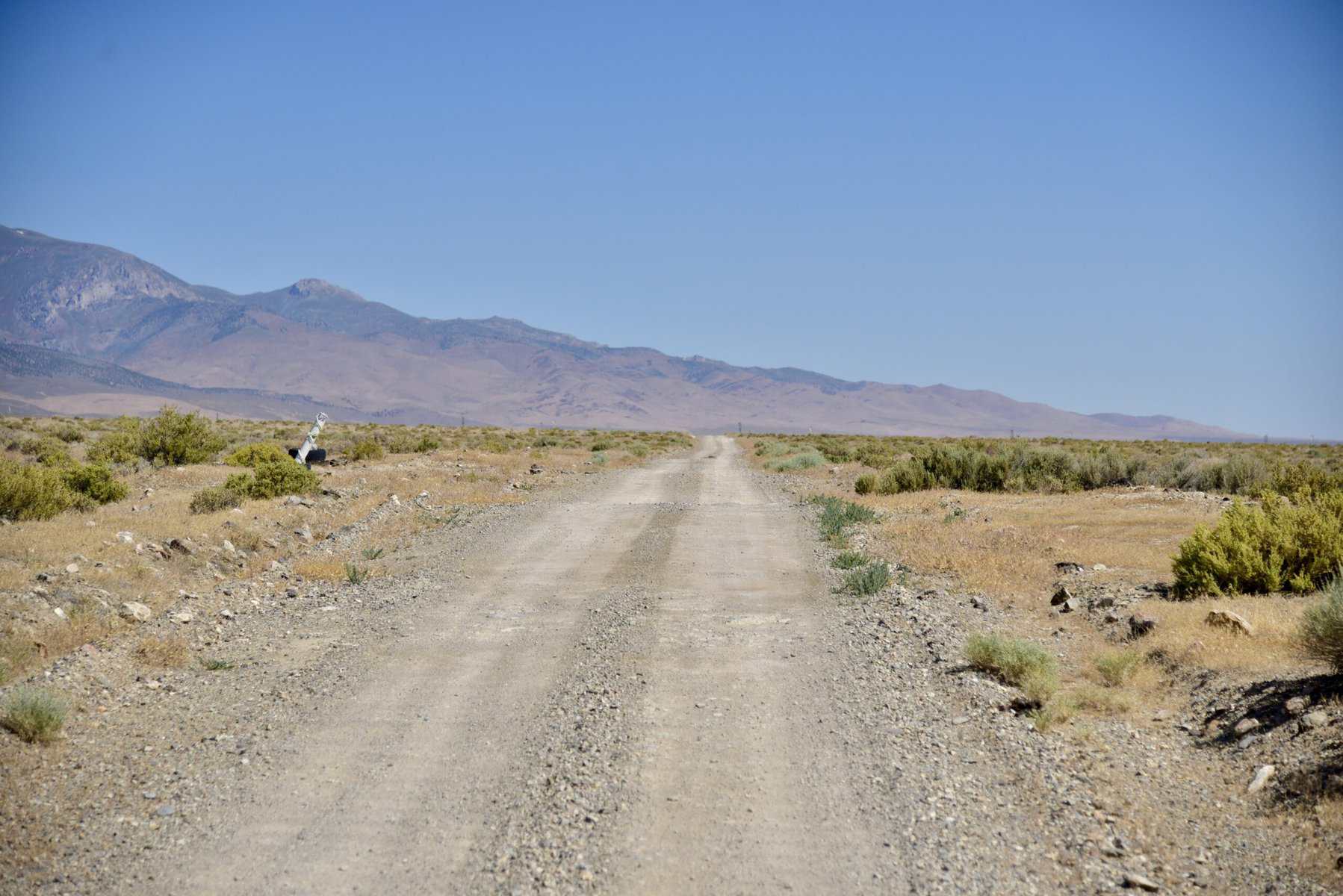
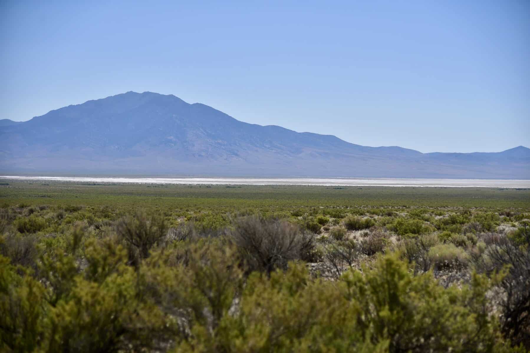
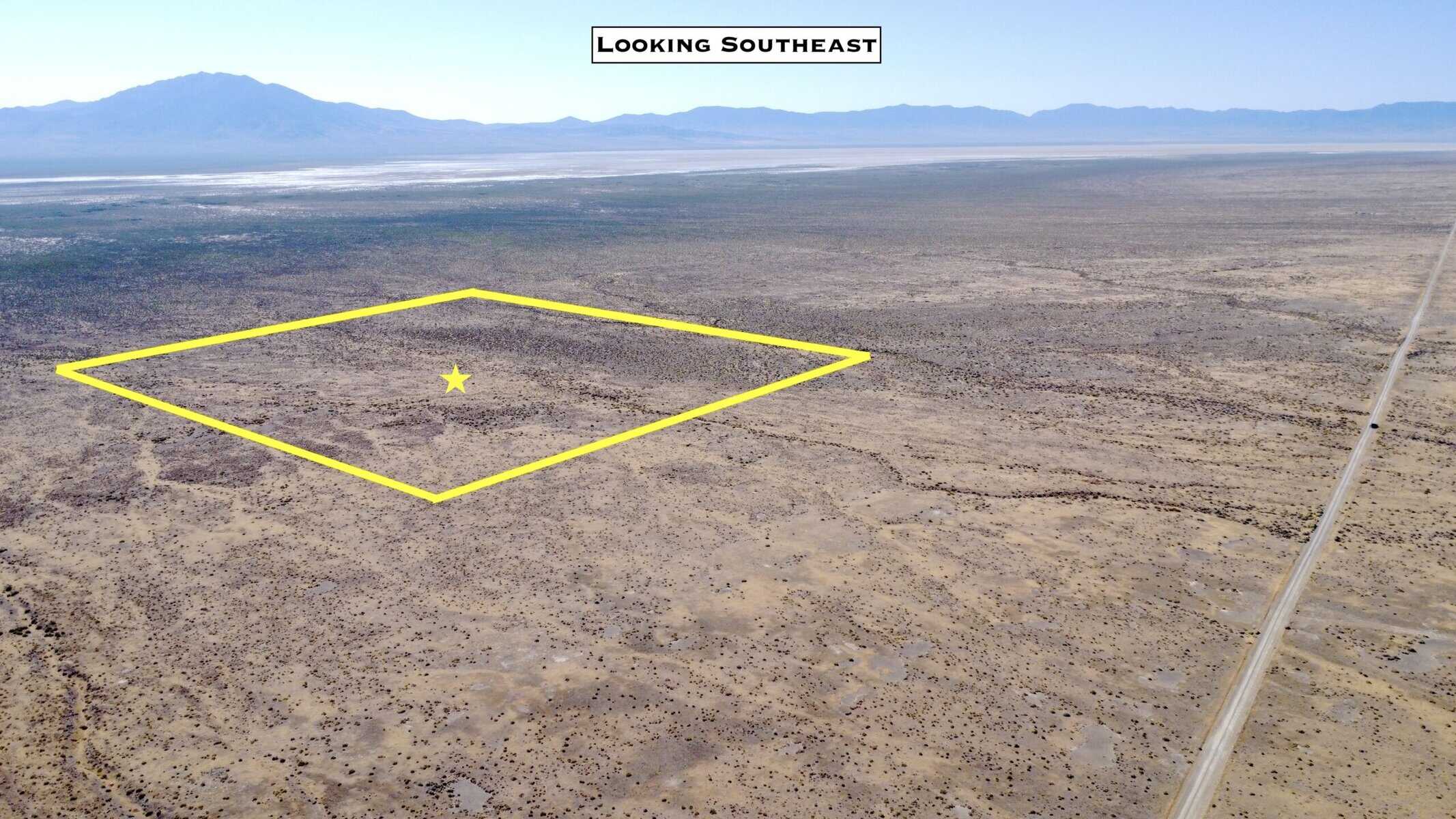
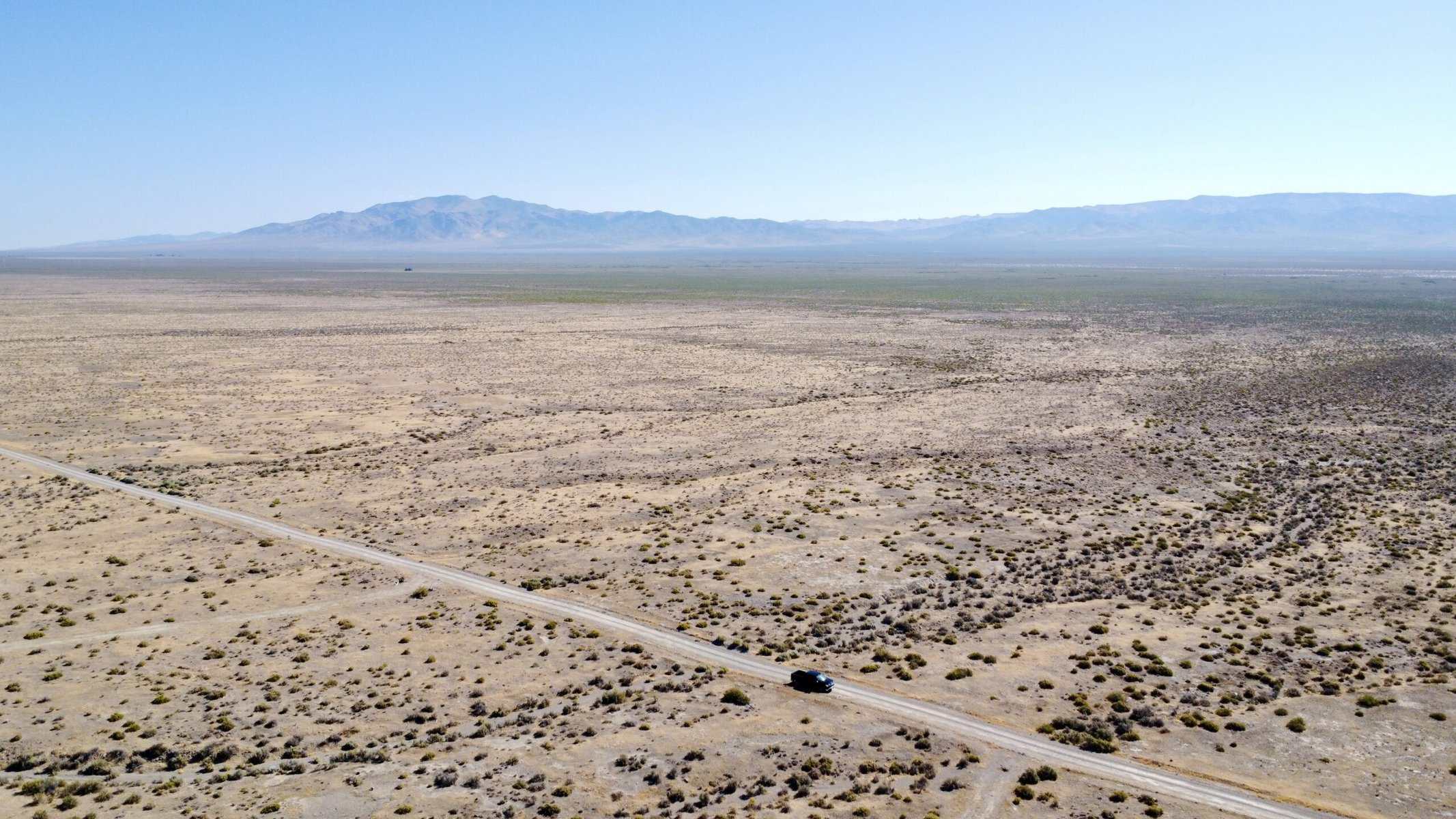
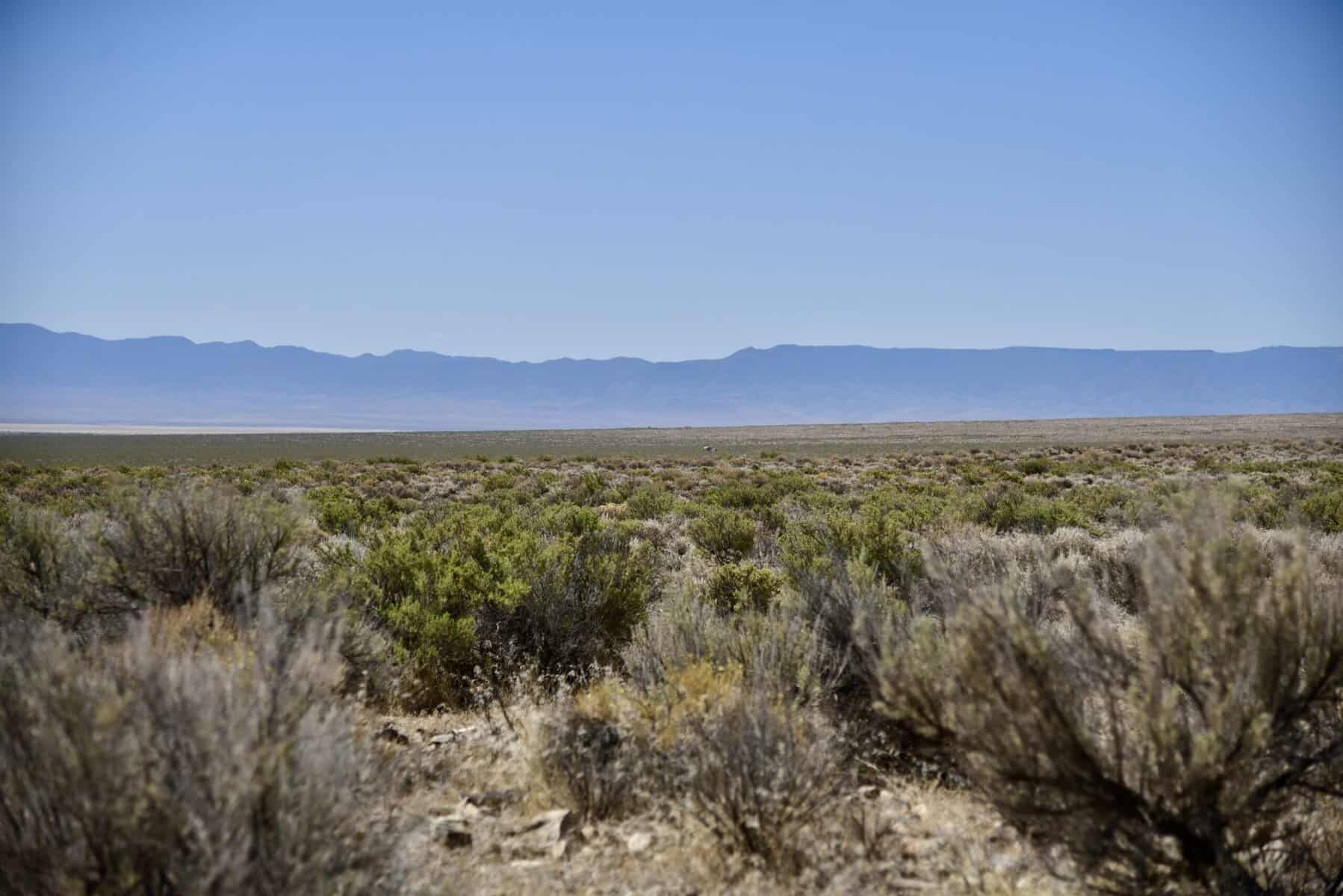
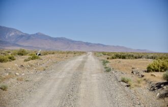
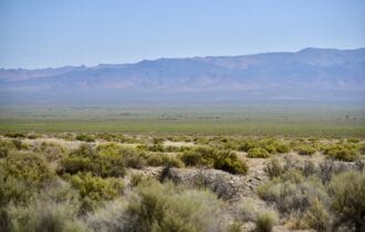
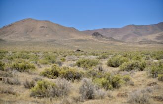
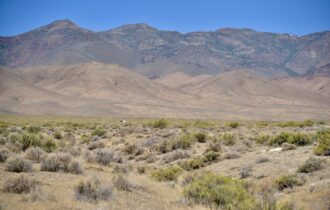
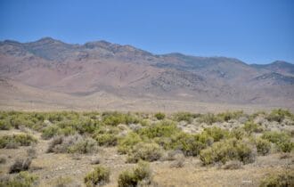
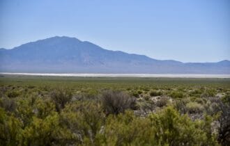
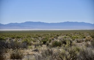
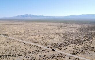
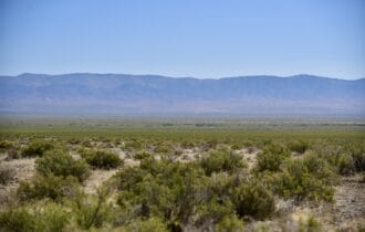
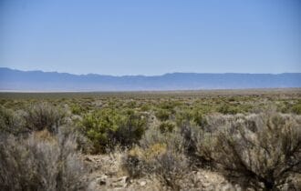
40.28 acres in northern Nevada’s Buena Vista Valley with residential building rights. The property has been surveyed and has an access easement to a county maintained road. Adjacent to the property are 640 acres of public recreational land maintained by the BLM and has easement access to thousands more.
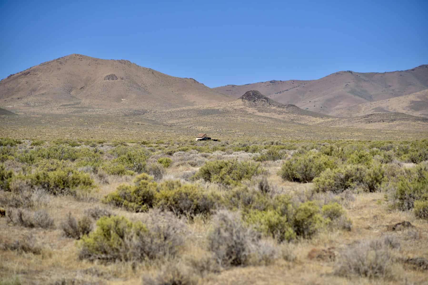
This property naturally offers a way to put the phone down and unplug while enjoying all that nature has to offer. This would also be an excellent location for a full-time residence, seasonal retreat, hunting or recreational base camp.
There are several outdoor activities nearby, including the Rye Patch Reservoir and the Winnemucca Sand Dunes, both favorites of the locals. The town of Lovelock (pop. 4,000) is 45 minutes away for basic supplies and food. The city of Winnemucca is about an hour with more robust services that a regional city can offer.
The property is zoned AMR, which offers many flexible uses. Other uses that would be ideal for this parcel are grazing land for horses and cattle, other agricultural uses, an RV or camping spot, ATV riding, a shooting range, a bugout spot, or simply to hold as a long-term asset or inflation hedge.
Google Maps Link:
https://maps.app.goo.gl/WGitZwRWpaQunEyj8
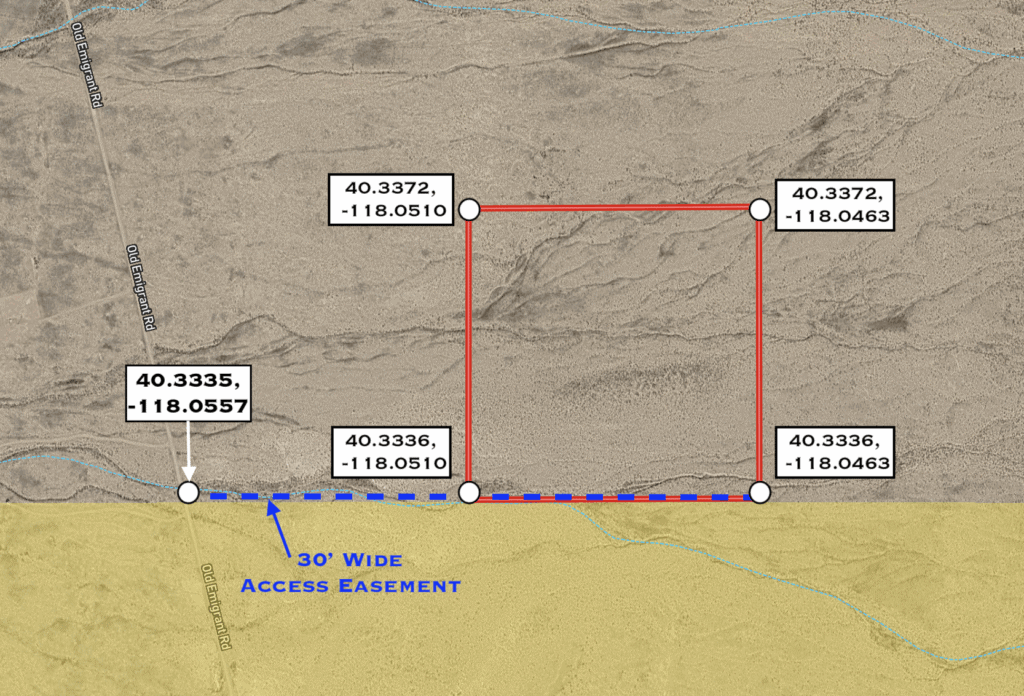
From this point, the property is ¼ mile to the east. Use our maps and GPS coordinates for guidance.
Directions from the North (Winnemucca): Take I-80 south to Exit 149 (Mill City). At the end of the ramp, turn left (south) onto NV Route 400. In 23 miles turn left onto Buffalo Springs Rd (aka Buena Vista Valley Rd). Go 1.9 miles to GPS coordinates: 40.3335, -118.0557. From this point, there’s a 30 ft wide access easement from the road east to the property. Use our maps and GPS coordinates for guidance.
Directions from the South (Lovelock): Take I-80 north to Exit 119 (Oreana/Rochester). At the end of the ramp, turn right (east) onto Lovelock-Unionville Rd. In 15 miles turn right onto Buffalo Springs Rd (aka Buena Vista Valley Rd). Go 1.9 miles to GPS coordinates: 40.3335, -118.0557. From this point, there’s a 30 ft wide access easement from the road east to the property. Use our maps and GPS coordinates for guidance.
GPS
Plat Map
Adjacent to Public Lands – Your Gateway to the Outdoors!
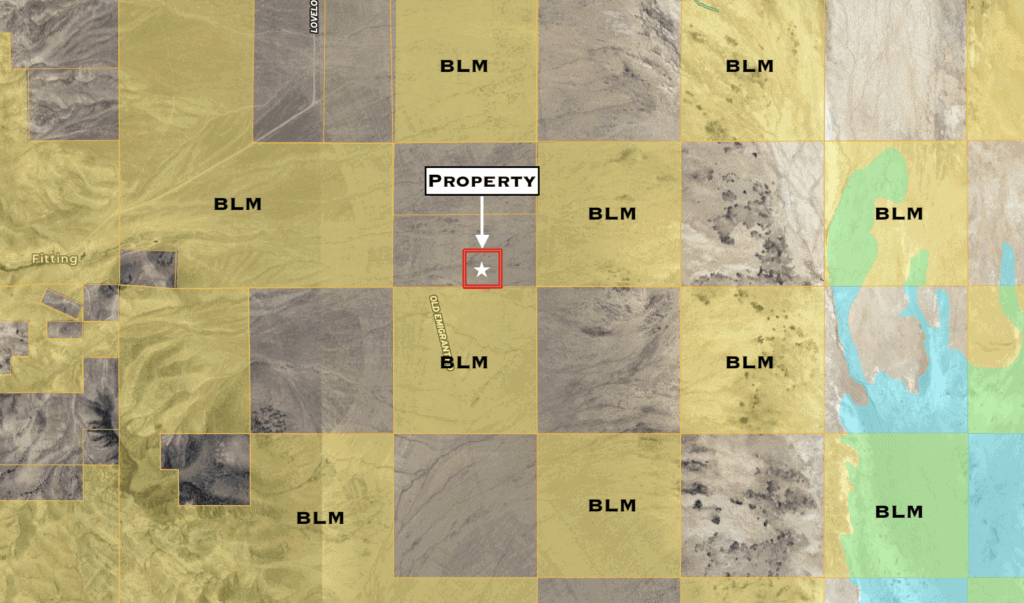
This property enjoys a rare and highly desirable feature: it directly borders Bureau of Land Management (BLM) land to the west and is nearby to thousands more acres.
BLM land is managed by the U.S. Department of the Interior’s Bureau of Land Management, which oversees more than 245 million acres of public lands, primarily in the western United States. These lands are designated for multiple uses, including recreation, grazing, and wildlife habitat. As a landowner adjacent to BLM property, you gain direct access to undeveloped areas where you can hike, camp, hunt, or simply enjoy the peace and solitude of nature — all without crossing another private parcel.
Owning land that borders federally managed property not only gives you unmatched recreational access but also helps protect your privacy and preserve the natural character of your surroundings. Since public lands are unlikely to be developed, your views remain open and your connection to nature uninterrupted.
Whether you’re seeking a basecamp for outdoor adventures, a private retreat with room to roam, or a long-term investment with rare locational advantages, this parcel offers an opportunity few others can match.
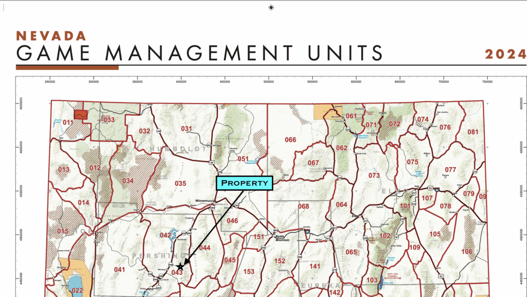
Hunting
The property is within Game Management Unit 043. This is an excellent unit if you want easy access to the vast public lands in the area with elk and deer potential.
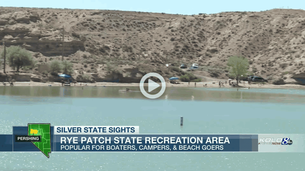
Nearby Attractions: Rye Patch State Recreation Area – 45 min
Video Link: https://www.kolotv.com/video/2020/07/22/silver-state-sights-rye-patch-reservoir
Nearby Attractions: Winnemucca Sand Dunes – 1 hr 5 min
Into ATV and dirt bike riding? Just a few miles northeast of the property is the famous Winnemucca Sand Dunes!
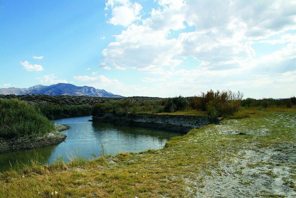
Nearby Attractions: Lassens Meadows – 1 hr 15 min
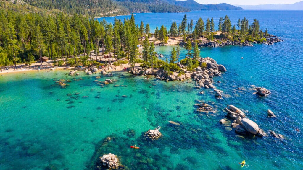
Nearby Attractions: Lake Tahoe – 3 hr
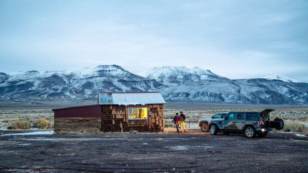
Nearby Attractions: Black Rock Desert – 3 hr 30 min
Have questions? Ready to purchase?
Call or text Steve at 484-246-5436 or email [email protected] anytime. We pride ourselves on being responsive to the satisfaction of our customers and typically return all calls and messages within the hour. We’ll be happy to explain what to expect with the closing process and answer any questions.
DISCLAIMER: Any information (including, but not limited to, all real property images, descriptions, pricing, locations, and availability) made available in this communication, by or through this website is provided for informational purposes and is but in no way guaranteed. The information is believed to be accurate and complete, however it is subject to change and/or correction without notice. Buyer is responsible for verifying all information with county public records and appropriate County department where the real property is located, including what can and cannot be done with the property. Buyer will need to work with the County to obtain the proper permits if needed. Buyer will also need to confirm the availability of any utilities needed or serviced on the property. Seller makes no warranties or representations about the real property, it’s condition, or what can be built on the property. Buyer is responsible for conducting due diligence. If/when you visit any of our properties, you are visiting at your own risk and release Horizon Land Sales (aka FI Properties, LLC) and anyone associated from any and all claims or liabilities.